El Bailadero to Taganana: PR-TF 4 Hiking Guide
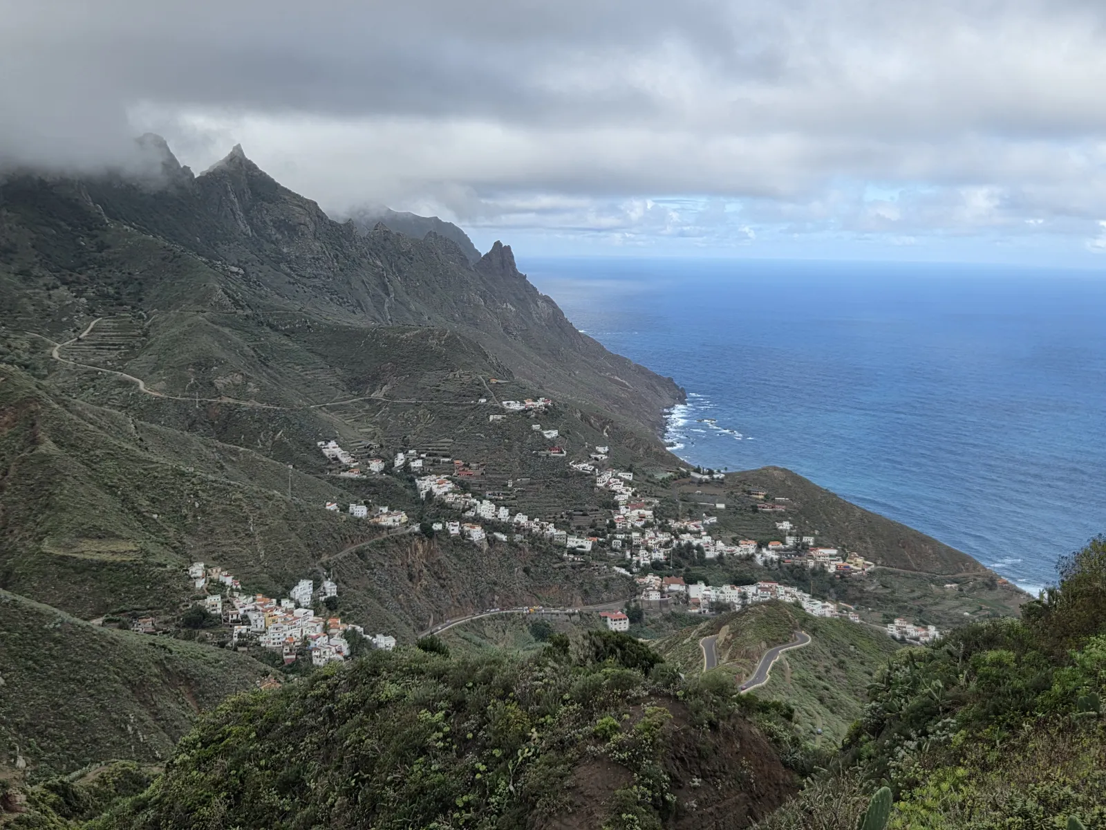
The walk from El Bailadero to Taganana takes you from Anaga’s misty mountain ridge into a valley of scattered white houses, agricultural terraces and Atlantic views. Following PR-TF 4, this short but steep descent combines shaded woodland with open hillside scenery and finishes in one of northeastern Tenerife’s most distinctive villages.
In this guide
El Bailadero to Taganana: distance, time and difficulty
El Bailadero stands on Anaga’s ridge above Taganana, within the municipality of Santa Cruz de Tenerife. The direct walking connection is PR-TF 4, a linear trail of approximately 3.3 km. Allow around two hours, with extra time for photographs, slippery ground and exploring the village.
The principal effort is the sustained descent: you lose roughly 500 metres of altitude between the ridge and the village, although published elevation totals vary with the precise starting point and track. Short uphill passages and uneven footing mean this should be treated as a mountain walk rather than an effortless downhill stroll.
It suits walkers comfortable on steep, irregular paths. Anyone with sensitive knees should consider the descent carefully; trekking poles can help. The natural trail surface and gradients make it unsuitable for pushchairs or wheelchairs.
When comparing routes online, check the actual map. Walks labelled “El Bailadero–Taganana” sometimes include Casa Forestal and Las Vueltas, producing a substantially longer itinerary. The direct PR-TF 4 described here is a different route.
Following PR-TF 4 from the ridge to Taganana
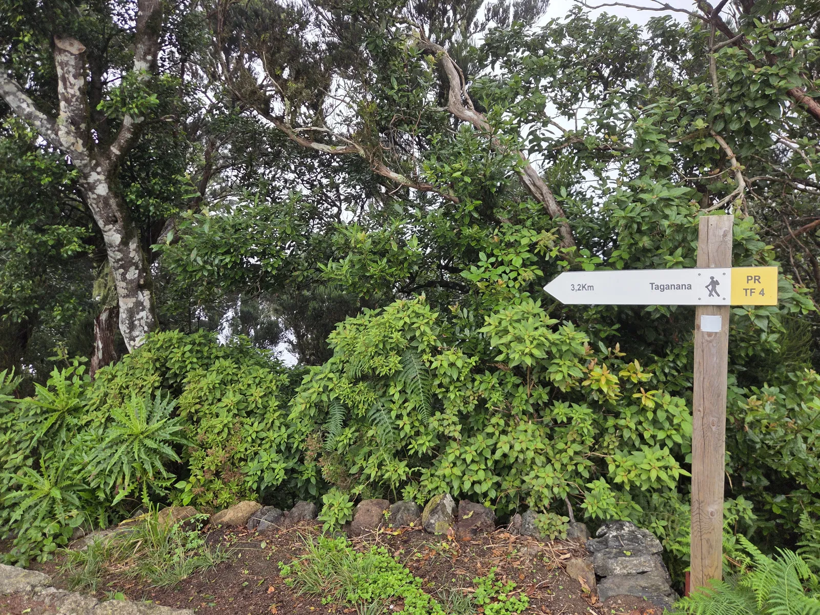
At El Bailadero, locate the signed PR-TF 4 departure towards Taganana before leaving the road. The photographed direction sign indicates 3.2 km from that particular point; small differences from the approximately 3.3 km route description reflect where measurements begin and end. Download the route map beforehand, especially if arriving in cloud.
The upper surroundings show Anaga’s humid character: ferns, tangled branches and moss flourish where clouds frequently meet the ridge. Even without rain, vegetation and the ground can remain wet. Take time to settle into the descent rather than judging the whole walk by its short distance.
As the route opens out, the landscape changes from enclosed greenery to cultivated slopes, terraces and views towards the ocean. Cloud can conceal the mountains above while leaving the village and coastline visible below. On a clearer day, the contrast between the dark ridges, pale houses and blue sea becomes the walk’s defining feature.
Follow the marked path through junctions and any road crossings, checking the continuation before proceeding. Agricultural access paths are not necessarily hiking shortcuts. Near Taganana, the setting becomes increasingly residential; remain on public routes and respect entrances, gardens and working plots.
What to see when you reach Taganana
Allow another 30–60 minutes to explore rather than heading straight to the bus. Taganana spreads across steep slopes, so reaching its first houses does not mean you have finished walking. Narrow lanes and changes in level reveal how the settlement fits around the terrain.
The area around the Church of Nuestra Señora de las Nieves makes a natural focus for a village visit. The nearby Chapel of Santa Catalina adds another point of historical interest. Their surroundings are worthwhile even when the buildings themselves are closed; interior access should not be assumed.
A meal or drink provides a relaxed finish if a local establishment is open. Carry your own trail water and food, however, and check opening hours if lunch is central to your plan. Before settling down, locate your return bus stop and confirm the departure direction.
Getting there by bus and organising your return
Public transport works particularly well for this linear hike. TITSA route 947 connects Santa Cruz with El Bailadero on its journey towards Chamorga. For the return from Taganana, check route 946, which serves the Taganana–Almáciga corridor and connects towards San Andrés and Santa Cruz.
Check the timetable for your actual travel day: weekday and weekend departures differ, and services are infrequent enough to shape the outing. Confirm the exact arrival stop at El Bailadero. A stop listed as “Cruce El Bailadero” should not automatically be treated as identical to the ridge trailhead; inspect its location and any connecting walk.
If driving, arrange how you will return uphill before setting off. Parking opportunities around the ridge are limited, and roadside space is not automatically a legal parking place. Avoid blocking bus stops, access tracks or passing places. Walking back up the same trail turns the outing into roughly 6.6 km with a substantial climb.
Weather, trail conditions and what to bring
Choose a day with manageable wind and a favourable forecast for Anaga itself. Sunshine in Santa Cruz or southern Tenerife says little about conditions at El Bailadero. The ridge can be cold, damp and foggy while Taganana feels considerably warmer.
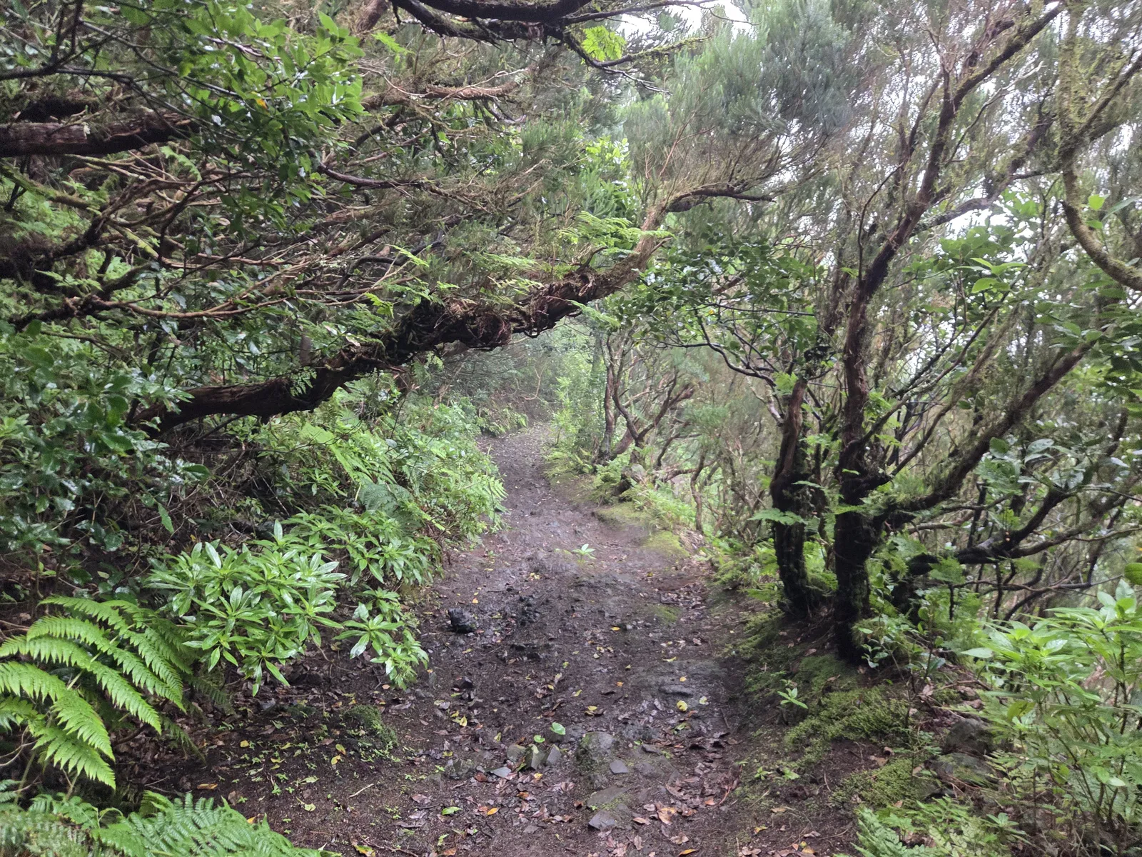
Wear hiking footwear with reliable grip and bring water, a snack, a waterproof layer and sun protection. Carry an offline map and a charged phone. Descend with short, controlled steps on wet ground, and stop somewhere secure when taking photographs.
Before travelling, consult the official Tenerife ON route page for current access conditions, alerts and any applicable reservation requirements. Temporary weather or maintenance restrictions take precedence over a saved route. Follow signs on the ground, stay on the established trail and call 112 in an emergency.
Las Vueltas, longer circuits and the coast
Combining PR-TF 4 with Las Vueltas
For a more demanding outing, experienced walkers can investigate a circuit linking Taganana, the historic Las Vueltas path, Casa Forestal and El Bailadero. This combines different trail sections and adds considerable climbing. Plan its full distance, ridge connections and current conditions independently; the two-hour estimate for the direct descent does not apply.
Continuing towards the sea
Taganana village is inland, so finishing here does not put you on a beach. Roque de las Bodegas is a separate coastal destination; Almáciga and Benijo lie farther along the coast. Add them only with enough daylight and a workable return connection, using mapped pedestrian routes rather than assuming the road offers a continuous pavement.
For a balanced first visit, keep the plan simple: descend PR-TF 4, explore Taganana and leave time for lunch before the bus. This gives the woodland, valley scenery and village the attention they deserve without turning a short hike into a rushed itinerary.