Barranco de Zapata: Hiking to Playa de Zápata from Igueste de San Andrés
Barranco de Zapata reveals the dry, rugged side of Tenerife’s Anaga massif: steep volcanic ridges, rocky paths and a secluded beach of dark sand and rounded stones. Reached on foot from Igueste de San Andrés, this is a demanding mountain outing with a coastal destination. Good navigation, steady footing and enough energy for the return climb matter more than beach equipment.
In this guide
Where is Barranco de Zapata?
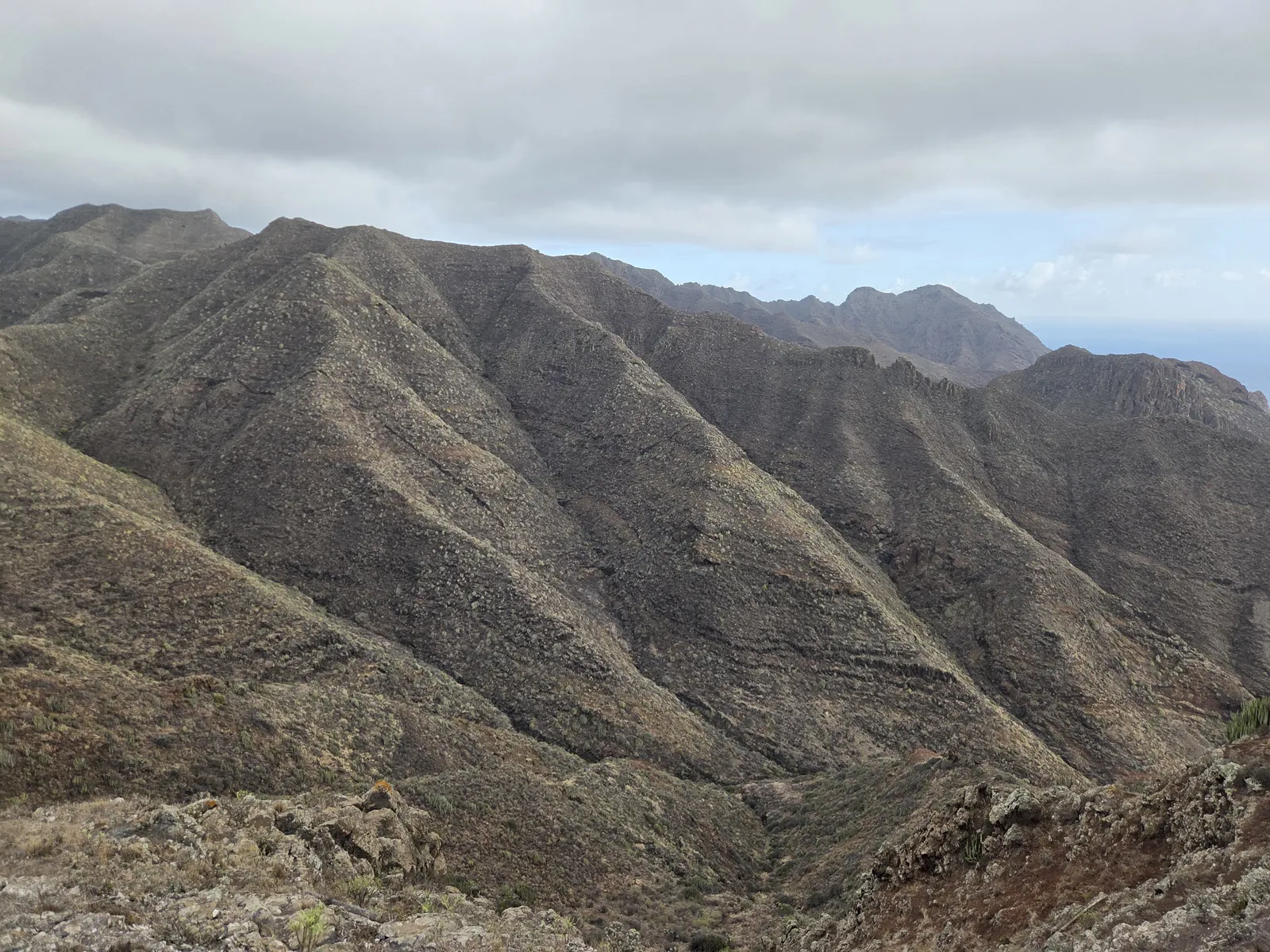
Barranco de Zapata, also written Barranco de Zápata, lies in the Anaga massif in the municipality of Santa Cruz de Tenerife. Its coastal outlet is Playa de Zápata, near Playa de Antequera. Igueste de San Andrés is the practical village base for the approach described here. The ravine and beach are separate features: reaching the barranco does not mean you have finished the descent to the shore.
This landscape differs sharply from the misty woodland around Cruz del Carmen. Open slopes, sparse scrub and branching gullies dominate the views. The attraction is the relationship between mountain and sea, with successive ridges hiding the coastline until the route brings it into view. It suits walkers who enjoy rough terrain and quiet surroundings more than visitors seeking an easy beach excursion.
Walking to Barranco de Zapata from Igueste
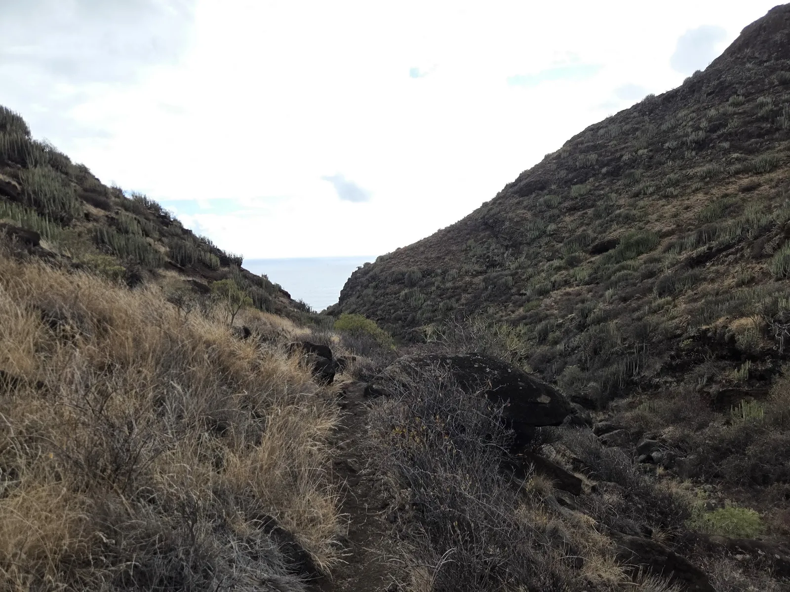
The traditional approach begins in Igueste and initially follows the signed PR-TF 5.1 towards El Semáforo. Above the village, the Zapata itinerary leaves that official route and climbs towards the Atalaya de los Ingleses area before descending into the neighbouring ravine. Following signs for El Semáforo all the way will therefore take you to a different destination.
Beyond the signed trail, expect a less obvious path and junctions requiring attention. Carry an offline topographic map and a suitable GPS track, and check that the track actually reaches Playa de Zápata. Routes labelled “Antequera” may share the approach but leave the ravine before its mouth. Cairns can help orient you, but should never be your only navigation method.
Allow at least five hours for the out-and-back walk, plus beach stops and a generous margin. Treat this as a planning baseline rather than a guaranteed completion time. The return reverses the descent and includes a sustained climb away from sea level. Turn back early if progress is slower than expected; reaching the beach is only the halfway objective.
What to expect at Playa de Zápata
The beach occupies the mouth of the ravine beneath steep coastal slopes. Dark sand, rounded stones and exposed rock give it a very different character from Tenerife’s developed bathing beaches. The balance between sand and stones can vary, so the shoreline may look different from photographs taken on another visit.
Plan to be self-sufficient. Bring all your drinking water and food, and carry everything back out. Choose a resting place away from the foot of unstable cliffs and beyond the reach of incoming waves. Before settling down, identify the path you will use to leave; it is easier to recognise the entrance while the descent is still fresh in your memory.
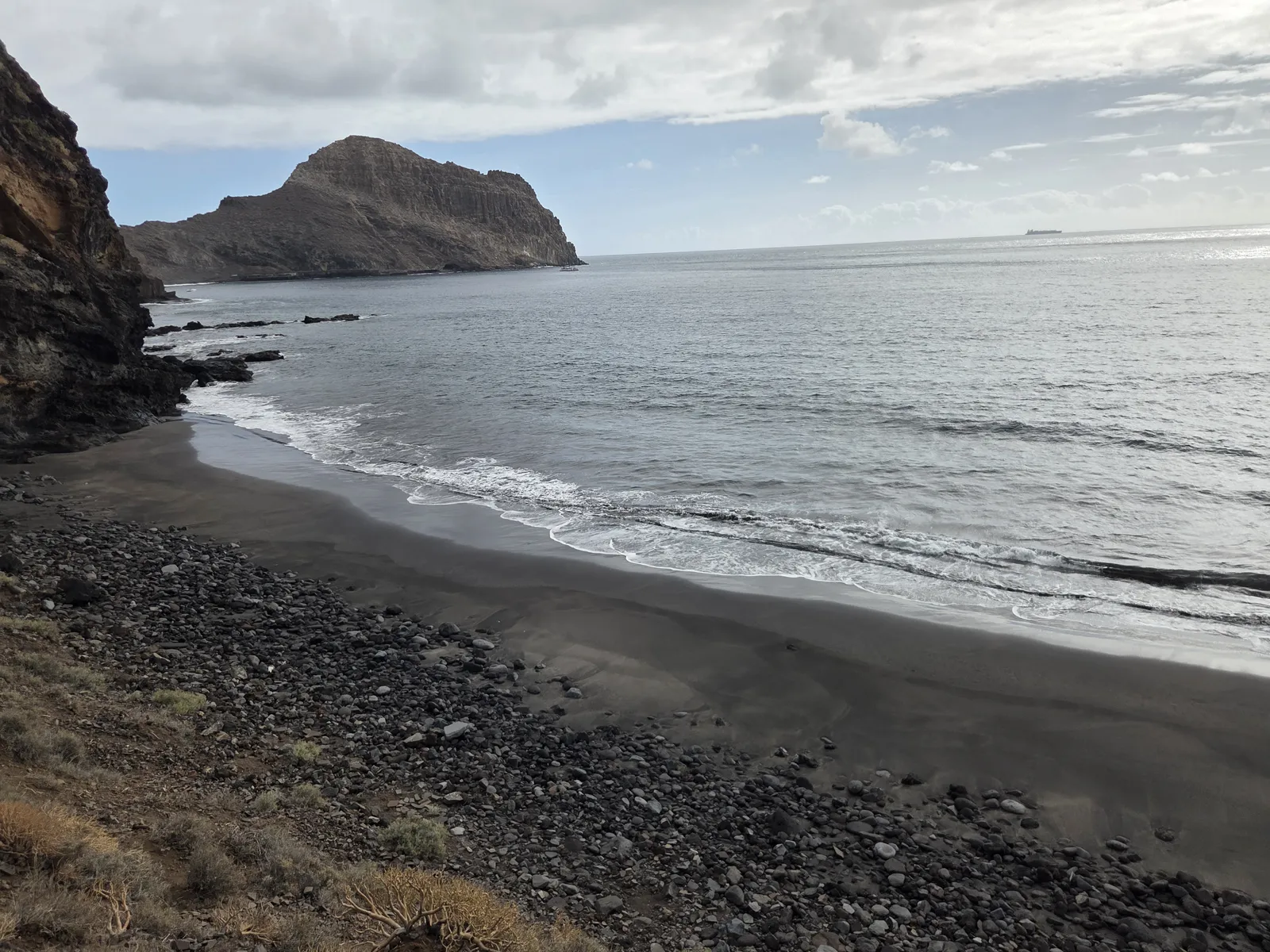
Make swimming optional. An apparently gentle sea does not establish that entry, currents or the return to shore are safe. Check the marine forecast and observe conditions carefully. Avoid treating the waterline as a route to Antequera: sand exposure, swell and tides can change, and a passage visible on arrival may become impassable later.
Difficulty, weather and essential preparation
This outing requires fitness for repeated climbing, confidence on loose ground and the ability to navigate beyond consistently signed paths. It is a poor choice for a first independent hike in Anaga, or for anyone expecting a straightforward descent followed by an easy coastal return. The beach setting should not obscure the mountain demands.
Choose a day with stable weather and comfortable temperatures. Exposed slopes can feel hot even when cloud hangs over the higher massif. Rain can reduce grip and affect ravine conditions, while strong wind makes narrow paths more difficult. Check the AEMET forecast for Santa Cruz de Tenerife and current access information on Tenerife ON before leaving. A downloaded track does not establish that a route is currently accessible.
- Wear hiking footwear with reliable grip and bring sun protection.
- Carry sufficient water for the entire outing, food and a reserve.
- Download maps beforehand and take a charged phone, backup power and a headlamp.
- Tell someone your intended route and expected return time.
Do not depend on continuous mobile reception or an unarranged boat pickup. Keep the group together at uncertain junctions and retrace your steps if the path becomes unclear. In an emergency, call 112.
Antequera connections and shorter alternatives
Some experienced walkers incorporate Zapata into a longer circuit through Playa de Antequera, returning inland to join PR-TF 5. The coastal continuation includes narrow, exposed terrain and requires its own route assessment. It should be planned in advance, with a complete track and adequate daylight, rather than added spontaneously because Antequera appears close.
For a more clearly defined objective from Igueste, consider the signed PR-TF 5.1 to El Semáforo. It still involves climbing, but avoids navigating the full Zapata descent. Another option is to explore Igueste itself and finish with a separate coastal stop around San Andrés. Choose the outing that matches the least experienced person in your group.
Getting to Igueste and planning your day
By car, approach Igueste de San Andrés along the TF-121 from San Andrés. Use permitted village parking and leave entrances, turning areas and narrow streets clear. There is no road access to Playa de Zápata; arriving in Igueste is the start of the walk.
TITSA route 945 connects Santa Cruz with Igueste via San Andrés. Check the current timetable, service notes and return departures for your travel day. Build in enough spare time to miss a bus without having to rush down the mountain.
Reserve the day for the hike and keep later plans flexible. Start early, set a turnaround time and reassess conditions at each stage. Barranco de Zapata is most rewarding when the beach remains an optional destination within a carefully planned mountain walk.